Long before the Lost Coast trip was even a seed planted in my brain, Dave and I had had several conversations about where we might go exploring with bikes and boats. Potentially the most painful part of this entire journey was making the call on where and when to go. We batted around heaps of ideas including the Brooks Range, Southeast coast, Nunivak Island, even a variation on (and extension of) the Lost Coast. Potential partners came in and out of the plan, and each time that happened the plan changed.
It was not unlike herding cats.
Ultimately solid beta, pictures, and encouragement from Philip Tschersich swayed us to head southwest.
Eventually the plan became solid and with that the group did the same. Dave Gray, Pete Basinger, and myself would fly from Anchorage to the Alaska Peninsula village of Cold Bay with bikes and boats. We’d head north along the coast, eventually to Port Moller. Brian Blair would join us there, continuing northward to Meshik.
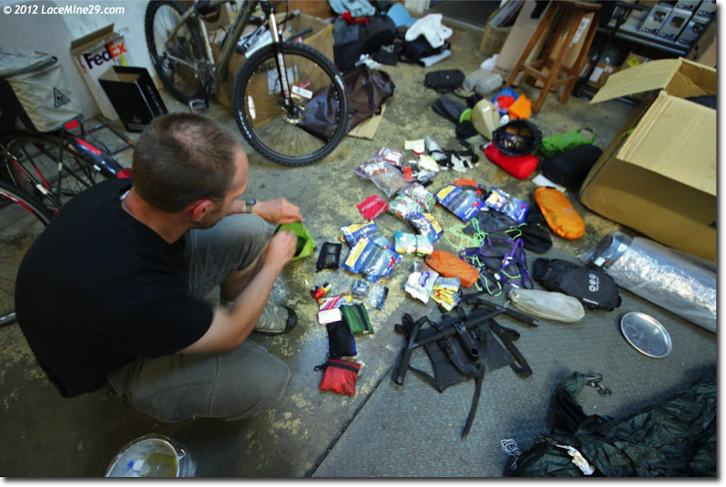
Dave and I went through the night-before packing/repacking/second guessing ritual in the back room at Speedway while Pete flitted about Anchorage doing last minute errands.
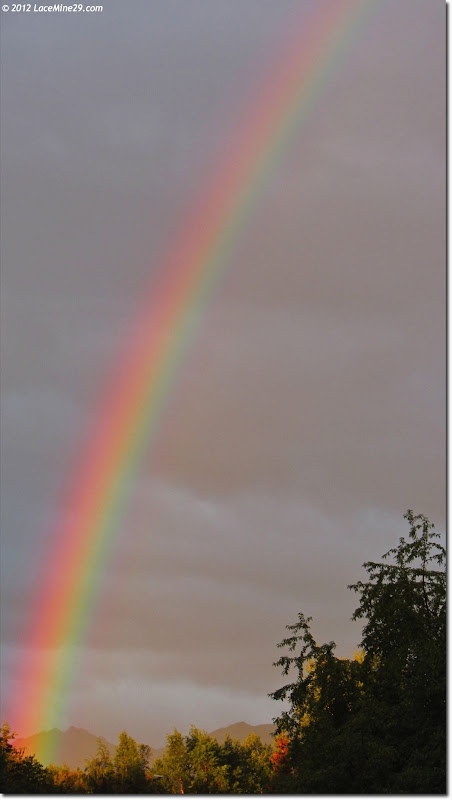
Always a good sign on the way to the airport, right? Right?!
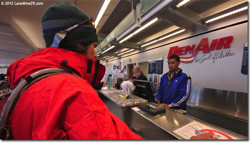
Getting the big-bike-box stinkeye, and giving it right back.
I’ve spent little time in western AK and none on the peninsula, thus I was excited to see new country. Alas, we lifted off and went straight into the clouds, with few reprieves throughout the 2 hour flight. A few minutes before touchdown Pete got my attention when these came into view:
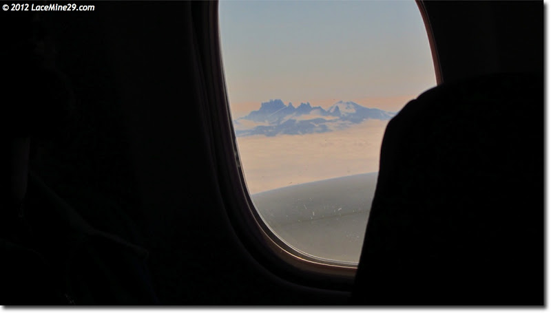
The Aghileen Pinnacles. I knew we’d be close (on the ground) but this aerial view was the only one we got.
Check weather for anywhere on the peninsula in August and you’ll see fair temps, high humidity, more wind than you’d prefer, and a decent amount of rain. I was tickled to step off the plane into sunshine, and more than a little surprised when the flight crew told us this was the nicest day they’d seen all summer.
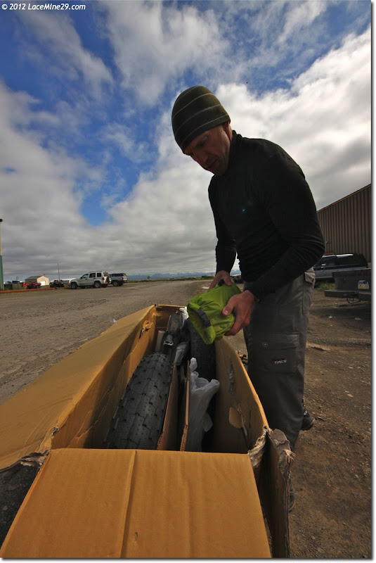
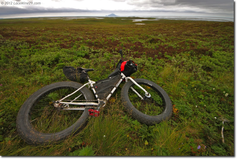
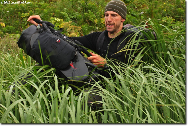
We unboxed bikes, hung bags, answered questions asked by onlookers (How fat *are* those tires? You’re going *where*?), heard our fair share of reasons why what we were here to do was, indeed, impossible, then finally bugged out.
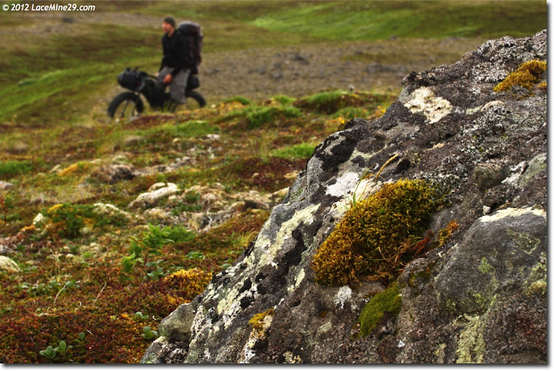
The area surrounding the town of Cold Bay has a remnant network of WWII tank trails in various states of decline. We used these to cross from the east side of the peninsula to the west, where we hoped (gulp) to find rideable beach.
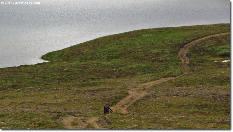
After the first hour we saw no one, and could slowly wheeze out the last of the city air and unwind into our new digs.
Eventually even the faintest of trails petered out and we simply picked due-north landmarks to head for. This blend of tundra/sponga was difficult to pedal through but delightful to walk and sleep on.
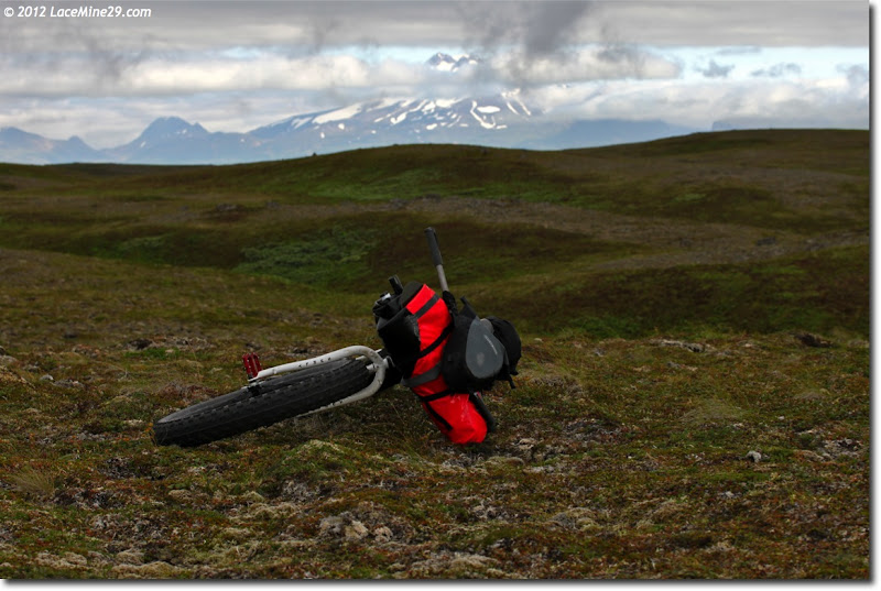
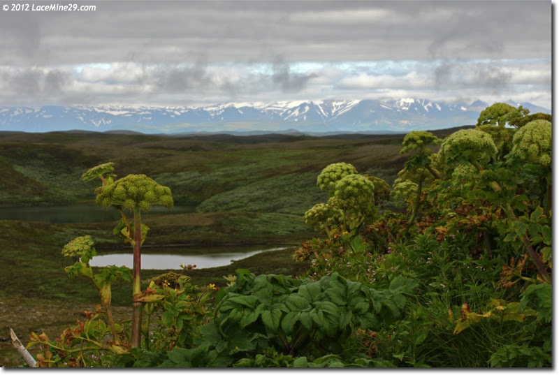
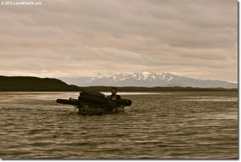
Pavlof and his Sister poked their volcanic heads out, briefly.
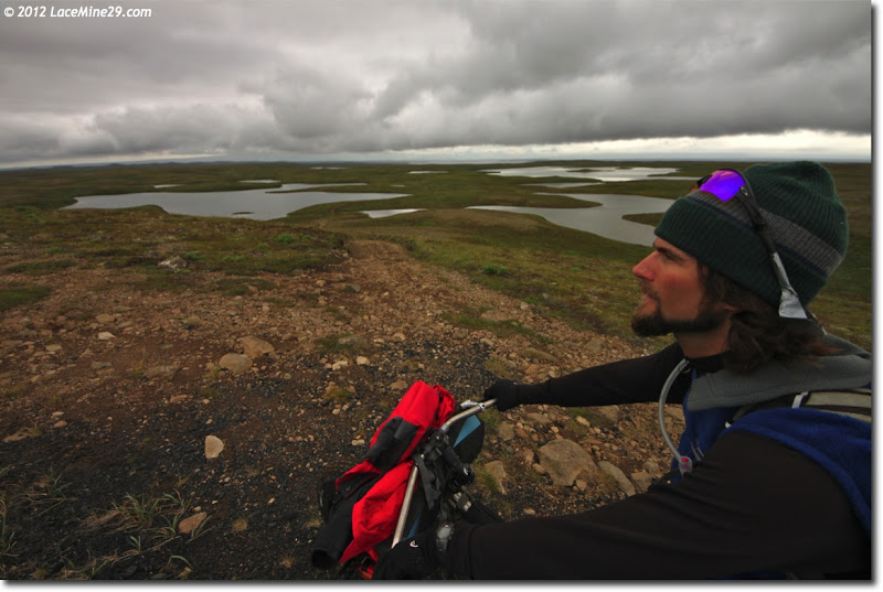
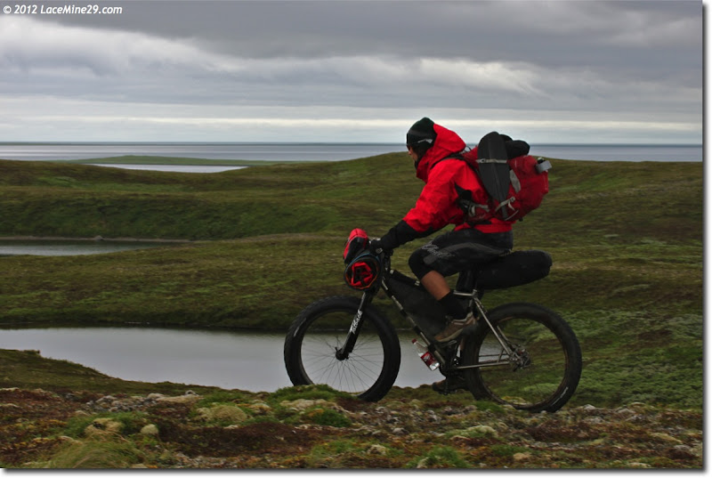
The pace was mellow and everyone rode with their heads up, savoring the foreign-to-us landscape. Temps were mild–mid 50’s maybe, but the high humidity and onshore breeze made it seem cooler than that. At some point through the first day we all fiddled with gear–cinching loose straps, adjusting tire pressure, or simply finding better places for last minute purchases of food or fuel.
We were on and off the bikes every few minutes–anything slightly downhill we rode, but the sponga sucked too much energy to pedal uphill or even on the flats.
We consulted the map and adjusted our course to head more westerly, leaving tundra and finding this cottongrass meadow.
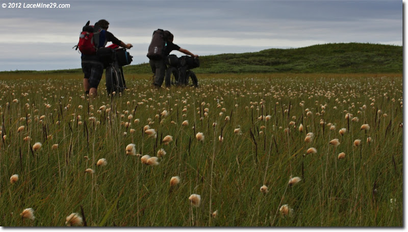
Err, cottongrass marsh. A few inches of water and less even footing taught us the first of many hard lessons. We splashed across a few before instinctively meandering back to the sponga.
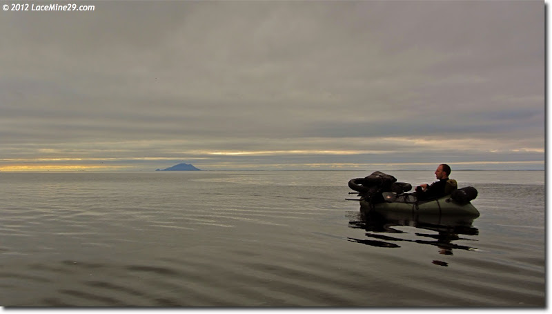
I’d been conditioned (on the Lost Coast) to think of the ocean not as a means of transport, but as a last resort. At a snack break I glanced at the maps and noted a low spit just offshore, which would (in theory!) be knocking the energy off of any breakers. In other words, I thought we might be able to put in and paddle along the coastline instead of slogging our way just inside it.
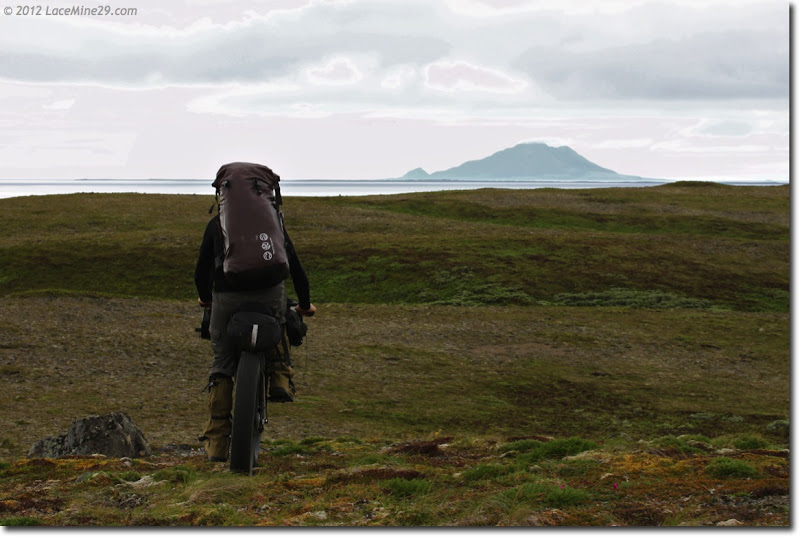
And, among other things, we found a thin strip of rideable sand between water and veg.
We rode this strip for less than a mile before it morphed into a blend of organic mank, too soft to ride. Another glance at the map, confirmed by a quick peek at the GPS, revealed that we could deploy boats here and paddle the next several miles. It wasn’t just the path of least resistance–it was the most direct route.
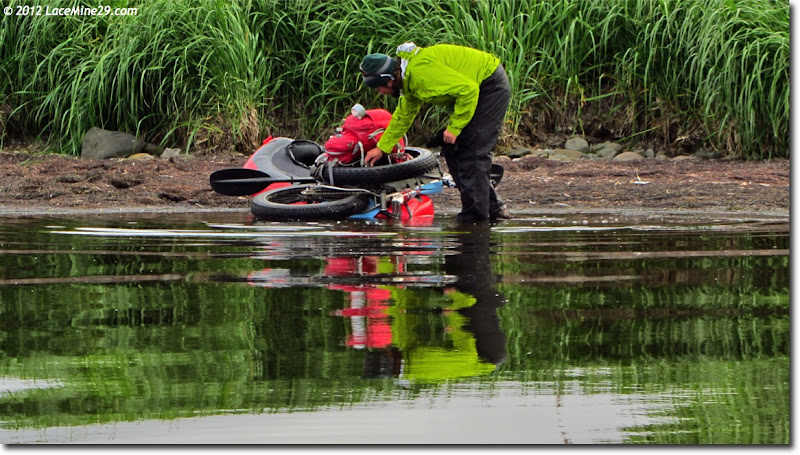
That aside, the wind was but a breeze and it happened to be in our favor. Once we were out and floating we could simply rest with paddles in laps and be pushed along at ~2-3mph.
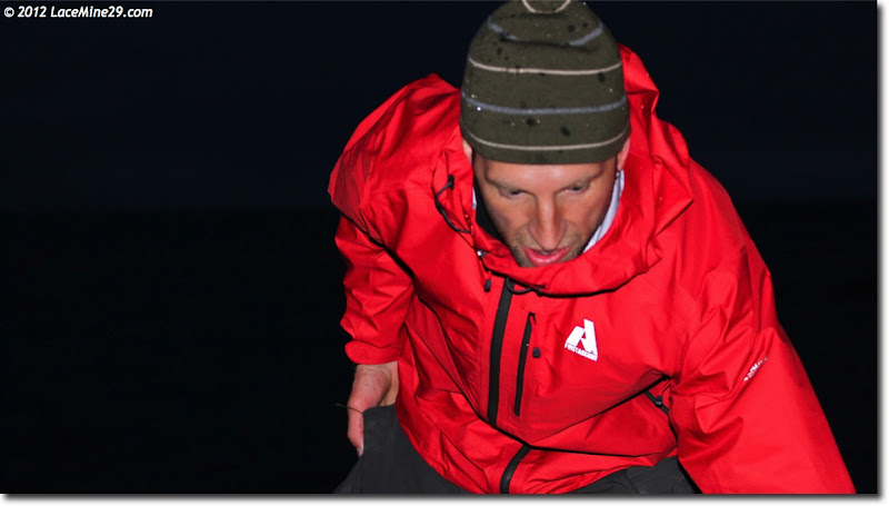
We stopped to snack, stretch, and pee at the edge of Moffet Lagoon. Doing pre-trip mapwork I had hoped for fair weather to cross this constriction. I guessed that we had less than two hours of actual daylight left to work with, but with great visibility and a tailwind it seemed the time was right. I voted to cross NOW, with the incoming tide. Pete wasn’t so sure and Dave didn’t really have an opinion either way. Ultimately I pushed a little too hard, goading them into making the crossing.
It was a mistake.
No one was harmed, not even a little, but the far shore looked nothing like the maps/gps portrayed, so we ended up fighting current and swells while searching for a safe landing in near-dark.
Not the best way to start a trip, and I apologized profusely to the guys for putting us in that place.
That drama over with, we repacked bikes and set about finding a place to call it a night. The first spot above the high tide line called loudly, where we set up tents and dove in.
Stick with me–much more beginning here.
Mike Curiak is a blogger and well known mountain biker. The Mountain Bike Hall of Fame says of him: "When discussing modern endurance mountain bike racing, you can't have a conversation without the name of Mike Curiak popping up somewhere along the way. Mike has not only performed at the highest level in this sport, he has led the way in defining its very nature, as well as documented its emerging history in the media."
You can find more about him, and his biking adventures at his blog.


