(U.S. Navy)
Next month, the Navy will scan Kodiak and Unalaska waters for World War II-era munitions using underwater drones. It’s part of an ongoing effort to eventually remove the explosives.
What could happen and whether the historic weapons would detonate is unclear.
Navy public affairs officer Leslie Yuenger explains how someone’s treasured artifact – collected on a casual dive – may actually deserve a 911 call.
“The Coast Guard will come out with the local police department to remove anything that may cause them harm,” Yuenger said. “I know a lot of people think these are really cool things to have, like a trophy from their underwater time out there, but it’s really not worth the risk.”
The U.S. government has noted the possible risk for a while.
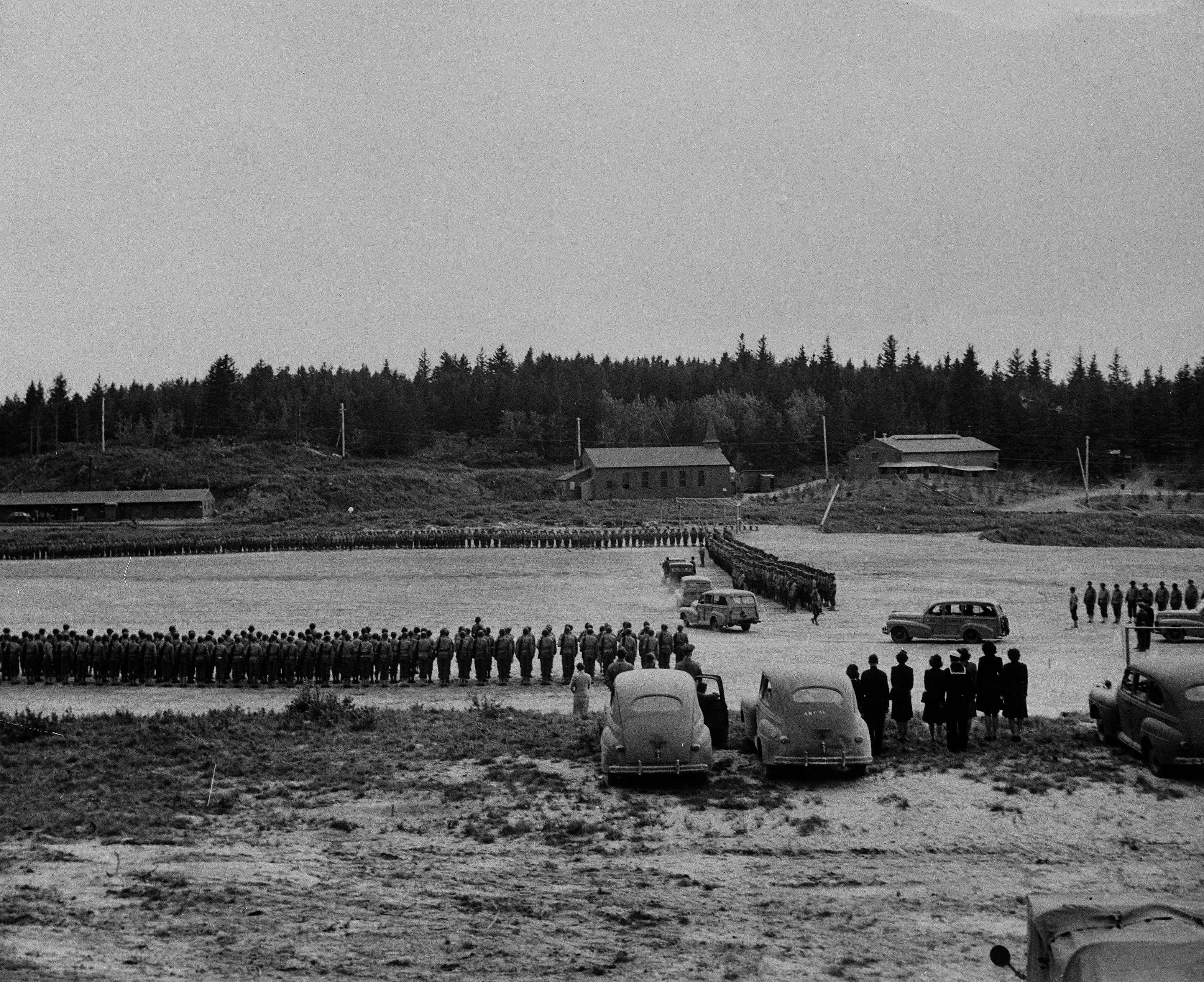
Yuenger said in 1941 President Franklin Roosevelt signed executive orders which established naval defensive sea areas around the islands of Kodiak, Kiska and Unalaska. That means that past military operations may have had “certain environmental impacts” on those areas.
In 2000, the government followed up with another piece of legislation.
“The National Defense Authorization Act required all U.S. Department of Defense activities to establish a program to address the potential explosive safety, health and environmental issues caused by these munitions that may have been left over from WWII,” Yuenger said.
Yuenger said the Navy is doing its part to locate and remove the explosives, mostly for safety reasons.
“What we’re seeing is that because it’s within the shallower waters, that it may actually be more of a hazard to inquisitive people,” Yuenger said. “And we want to make sure that we know everything’s that down there so that we can plan the future as to how to protect the public from stumbling across something that they’re not familiar with.”
Yuenger said they selected their survey areas in 2014. In 2015, they arrived with some surveying equipment, but the area size, equipment issues, and weather conditions made them turn back before completion. She says this summer they’ll continue the process and do a site investigation.
Yuenger said the first phase will be scanning the area with an unmanned underwater vehicle and using what is essentially a camera.
“It’d be like a very grainy black and white photo of an object that’s got some kind of metallic resonance and would show you something like you would for a sonogram of a fetus, so you just have [a] black and white structure that you’re trying to figure out what it really is,” Yuenger said.
Yuenger said if they find an object they suspect to be an explosive or weapon, they’ll send down a smaller remotely operated vehicle with a more advanced camera.
Kayla Deroches is a reporter at KMXT in Kodiak.


