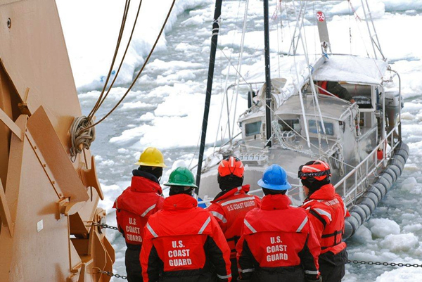
Anticipating increased traffic through the Bering Strait as retreating sea ice opens up the Arctic Ocean to more vessels, the U.S. Coast Guard is accepting public comments on proposed vessel routes off northwestern Alaska.
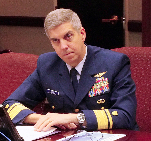
“We get about 400 transits up through that part, a year. Generally, that’s about 200 vessels since some of those are repeat customers,” says Rear Adm. Daniel Abel, commander of the U.S. Coast Guard’s 17th District.
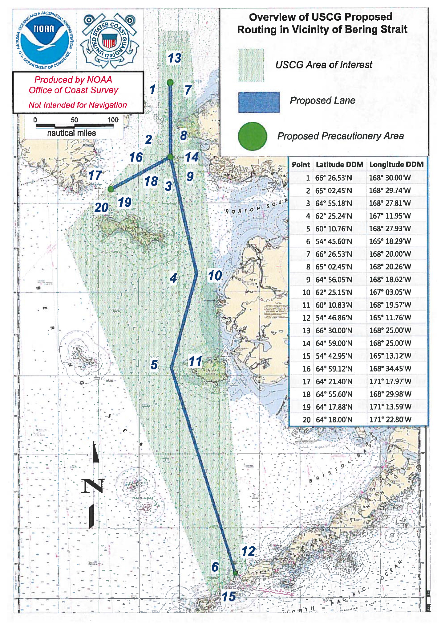
Abel says traffic through the Bering Strait has essentially doubled over the last seven years. The Coast Guard’s Port Access Route Study is intended to reduce accidents and promote efficient traffic between the Bering and Chukchi Seas.
“So, this will help control how vessels get basically from the Aleutians all the way up, to then turn to the Northwest Passage and the northern sea route,” Abel says. “This is going to be a huge step forward on getting our arms around routing of the vessels in and out of the Arctic.”
The proposed traffic lanes would run from Unimak Pass in the Aleutian Islands, a slight jog around the west side of Nunivak Island and up through Bering Strait. Traffic from Asia would pass the west end of Saint Lawrence Island before entering the Bering Strait. The four-mile wide, two-way routes are designed to avoid active commercial fishing grounds or environmentally sensitive areas.
Abel says the routing would likely be voluntary for vessels.
“Because making it mandatory would probably be extensive with the International Maritime Organization,” Abel says.
The goal would be by making it voluntary, eventually insurance companies and agents would ask ‘Why didn’t you follow what the Coast Guard recommended?’ That would reinforce the voluntary nature of the access routes to and from the Arctic,” Abel says.
Ed Page, head of the Marine Exchange, a Juneau non-profit specializing in maritime information and vessel tracking, says it makes sense.
“Provide some order, some predictability to manage the risk by prescribing where vessels should and should not go,” Page says.
Page expects ships would occasionally deviate from the proposed lanes to avoid sea ice in the central Bering Sea.
“I think a lot of this is focused on locking the barn door before the horse gets out type of philosophy,” Page says. “Let’s put some safety measures in place before it builds too far and too extreme. Some controls, some procedures, some risk mitigating visions in place early on than after the fact.”
In just five years of statistics compiled by the Coast Guard, tanker vessels, tugs, and adventurers were among the vessel types that have dramatically increased in numbers through the Bering Strait.
Page says some of those vessels include oil tankers and bulk zinc ore carriers heading to Asia from ports above the Russian Far East.
Traffic density recently fluctuated with offshore oil exploration efforts, but it’s still very low. As an example, it’s still barely five percent of the marine traffic in portions of Southeast Alaska.
“Down here in Juneau, we have about 7,000 vessels trampsing right by Juneau every year between the cruise ships, and the ferries, and the tugboats, and cargo vessels that go to Greens Creek (mine) and what have you,” Page says.
Page doesn’t believe Arctic marine traffic will really increase that much within the next 20 years. More bulk carriers may try that route, but there’s still too much uncertainty about ocean floor charting and the dynamic pack ice which may make it a risky route for container vessels on time-sensitive schedules.
“You need to have reliability,” Page says. “You have to make sure it shows up on Tuesday. ‘Well, it’ll be there when we get there. It depends on the weather, it depends on the ice, it depends on…’ No, that’s not acceptable.”
Page also says it’s unlikely that responsible shippers would take on the high liability of using vessels that don’t meet the Polar Code. Adopted last November by the United Nations International Maritime Organization (IMO), the Polar Code sets standards for design, construction, equipment, operations, training, search and rescue, and environmental protection for vessels in Arctic and Antarctic waters. It goes into effect in 2017.
Coast Guard Rear Admiral Daniel Abel says the proposed traffic route and Polar Code are only two elements of a broader effort to increase governance, safety, and security in the Arctic. He says the last leg of the three-legged stool includes the just-created Arctic Waterways Safety Committee.
“And that’s consistent with what we would do with any other port,” says Abel “So, let’s say if you were in Boston, there would be a Boston Harbor Safety Committee. It brings together all of the stakeholders and partners in the port – industry; communities; in this particular case, the villages; Alaska Natives; the subsistence communities – and we turn to them on ‘What would you like in your transportation system as far as routing, regulation?’”
Public comments are being taken on the proposed Port Access Route Study until June. Check out the link below to submit comments or find more information.
Matt Miller is a reporter at KTOO in Juneau.


